Road transport in The Netherlands

Even though public transport is an excellent way of getting around the Netherlands, there are plenty of reasons to join in the traffic on the roads.

Even though public transport is an excellent way of getting around the Netherlands, there are plenty of reasons to join in the traffic on the roads: perhaps you are travelling with small children, need to move bulky items or want to get to somewhere that is too remote even for the Dutch public transport to get to quickly. The good news is that the Netherlands is the sixth safest country in the world when it comes to road safety (according to the number of road deaths per capital in the Global Road Safety Report 2015 of the WHO). The bad news: it can get pretty busy. With 139,000 km of public roads, the Netherlands has one of the densest road networks in the world. Read on to get a general picture of the situation, get acquainted with important road rules and those that are specific to the Netherlands, and learn more about (Dutch) driving licenses and how to convert your driving license (if you already have one).

If you're going to be driving in the Netherlands it's essential that you read up on the road rules in the country.

Background
Background 
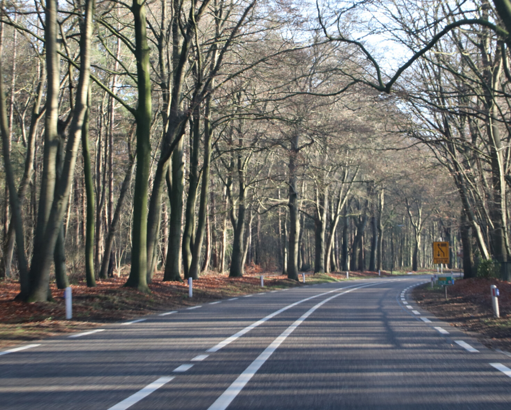
The first centrally organised motorway system of the Netherlands goes all the way back to the early 19th century, when the Kingdom of Holland was a part of the French empire and officially under the rule of Napoleon. In 1811, he decreed that a network of 229 paved imperial roads (Routes Impériales) should be created, extending from Paris to the borders of his empire. Several imperial highways were created that lead to the Netherlands. Amsterdam was connected to Paris by Route Impériale no. 2. Fun fact: a part of this highway between Amsterdam and Utrecht is still a part of the A2 motorway today.

After the liberation of 1813, the new king William I continued the project, but with Amsterdam at the centre. In 1927, the transformation of this network into today's system of national highways started.

The first Dutch motorway dates to 1936, when what is now the A12 motorway was opened for traffic between Voorburg and Zoetermeer, near The Hague. Current motorway expansion mostly takes place outside the megalopolis of the Randstad, and very little construction has taken place in the Randstad since the 1980s. Only 100 kilometres of motorway have been constructed in the entire country since 1991, of which only 26 km lie within the Randstad. Since then, the population has grown by 1.5 million, creating significant pressure on the motorway network.

It won’t come as a surprise that traffic jams are therefore very common in the Netherlands. Dutch motorways usually only feature two lanes going either way and for a large number of routes, there is no alternative. The exit density is also high: exits are usually only 3 km apart. The number of trucks and river crossings only adds to the issues. During rush hours you can expect anything between 200 to 500 kilometres of traffic jams across the entire network. Morning rush hour is approximately from 06:00 to 10:00 and evening rush hour lasts from 15:30 to 19:00. The latter is the busiest of the two. Our advice: try to stay clear of rush hours if at all possible!

Use these websites to keep an eye on the current road traffic and plan your journey wisely: